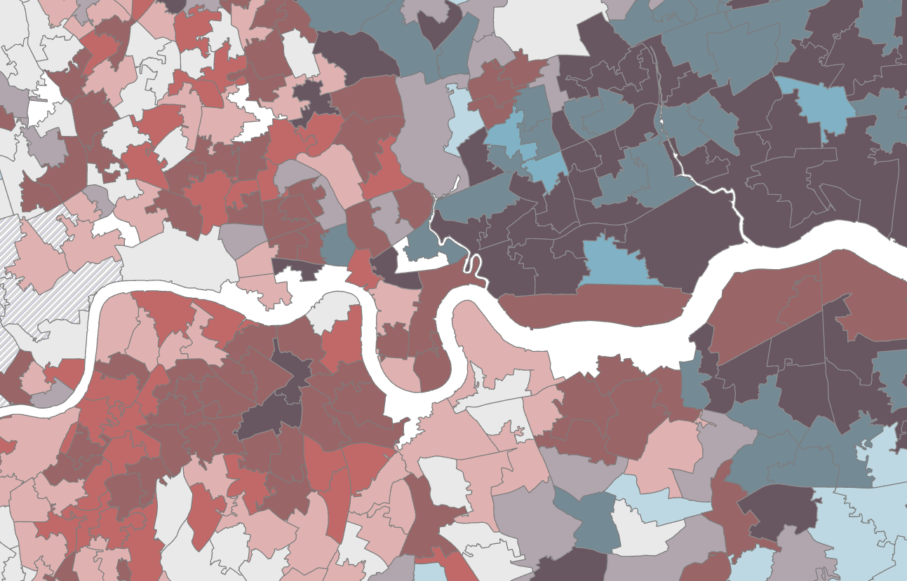

A key use of data is often to aid and inform decision making based on certain criteria. Spatial data is no different in that it tries to answer any questions related to 'where', such as where is the greatest concentration of a phenomena or where is the best location for an intervention? To answer a question like that, we turn to spatial analysis as a methodological way to investigate and explain why things are the way they are. Groundwork GDS can help you find patterns and draw critical insights from your spatial data using a range of statistical methods and tools. Utilising the diverse and extensive experience of our team members, combined with a range of public data and GIS software, Groundwork GDS has carried out a number of successful research projects and feasibility studies. Examples of different spatial analysis we have carried out include: utilising road and pathway networks to determine the catchment of play areas; identifying the prevalence of diabetes in London using a heat mapping technique; and the design of a mapping tool used to collect, monitor and project data to determine how communities might benefit from the redevelopment of a residential area in the future.
These are examples on how our work has helped brought data insights to use for life improvement for communities across the UK. As part of the larger Groundwork Trust, the GDS team has key advantages in the area of spatial analysis and research with access to extensive national and regional databases, real projects, local groups and a UK-wide network of partners. We utilize the full range of the ESRI catalogue, with powerful statistical tools available in ArcGIS combined with databases for capturing, storing and querying of data.
Groundwork GDS is part of Groundwork London